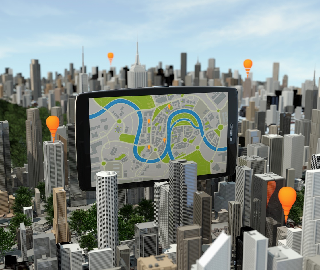
3D interactive mapping offers a digital-age solution for municipalities that seek to communicate complex zoning information in the most direct and illuminating way. In this post, we take a close look at the benefits of 3D zoning maps, the need for Geographic Information Systems (GIS) data and ArcGIS software, the power of MapBox and the Open Street Map (OSM) platform, and the need for an interactive 3D mapping provider to build breathtaking, data-rich 3D zoning maps.
Visualizing Zoning Laws With 3D Zoning Maps
Clearly communicating complex zoning regulations is an ongoing challenge for municipalities. However, there are many highly practical and visually stunning ways to bring zoning data to life through 3D zoning maps. A wealth of zoning information, such as regulations that address a building’s allowable height, mass, layout, volume, architectural style, and usage lend themselves to a 3D visual treatment.
An Example: Buildings Surrounding a City Park
Suppose that your city government is tasked with clearly communicating zoning laws concerning building heights surrounding a city park. The zoning regulations prohibit buildings to reach particular heights that would leave the park in shadows for most of the day. Without enough natural light, the park’s popular appeal would suffer alongside some of the park’s most sunlight-dependent plants, flowers, and trees.

To clearly communicate the regulation, the city government hires a leading 3D mapping provider to create 3D maps of buildings surrounding the park at their maximum allowable heights. The provider’s interactive 3D mapping solution places an emphasis on sunlight and the shadows cast by the buildings in question, greatly enhancing the impact of the visualization. Altogether, the city government’s innovative approach gives all interested parties and businesses an immediate understanding of the zoning regulation and the rationale behind it.
ArcGIS and MapBox
Raw GIS Data
At the core of nearly all U.S. zoning visualization projects in 2018 is GIS data. Drawn from the USGS, this technical data provides a wealth of geographic and spatial information including raw elevation data, 3D elevation program (3DEP) data, biological and ecosystems data, hydrography data, and many other data types. Given the importance of many of these datasets to zoning, GIS data feeds play a key role in the process of populating 3D zoning maps for municipalities.
The ArcGIS Platform
ArcGIS is a professional-grade mapping platform optimized for populating maps with GIS data. The ArcGIS platform also has a rich set of built-in spatial analytics tools for making sense out of the enormous datasets involved.
MapBox and OSM
Alongside ArcGIS, MapBox is essential software for building custom interactive 3D zoning visualizations. As an Open Street Map (OSM) platform, MapBox gives digital mapmakers the flexibility to build highly customized 3D maps. For example, notice the difference between a 2D zoning map for Vancouver, and a MapBox-powered interactive 3D zoning map.
There’s no doubt about it – the difference is stunning.
Experience and Expertise
When considering a 3D mapping provider, always take time to confirm that their team has the extensive, in-depth experience and expertise with ArcGIS and MapBox to produce professional-grade 3D zoning maps.
ArcGIS Expertise
Generally speaking, when developers and designers attempt to leverage ArcGIS to create 3D maps for the first time, they find themselves overwhelmed with the intricacies of the platform and the profusion of technical detail in the GIS datasets. Therefore, it’s important to take the time to ensure that the team you hire is fully prepared to take on ArcGIS-dependent projects with confidence.
To gauge a 3D mapping provider’s level of expertise and experience, ask them about their past projects involving ArcGIS and confirm that they are familiar with key aspects of the platform such as spatial analytics, real-time GIS, 3D GIS, and remote sensing. Bear in mind, it’s not enough that a mapping provider can simply pull in geographic datasets from ArcGIS. GIS data in its raw form can be extremely technical and might distract from the elegance of a user-friendly zoning visualization project. For this reason, it’s important that your 3D mapping provider is able to transform raw ArcGIS data into elegant, user-friendly visualizations.
Your provider’s 3D mapping platform needs to integrate seamlessly with ArcGIS software, while drawing from ArcGIS data feeds continuously. This process requires extensive experience with filtering and refining ArcGIS data while maintaining accuracy to meet the precise needs of your 3D zoning map.
Also, be sure to confirm that your 3D mapping provider gives you the tools to easily customize your 3D zoning maps without requiring you to know how to handle GIS data. The geographic data feeds and details should be taken care of automatically, allowing you to use an intuitive interface to quickly and easily make changes to your 3D zoning map.
MapBox Expertise
Not unlike ArcGIS, MapBox requires that 3D mapping providers have extensive experience with the intricacies of their platform. In order to bring MapBox-powered OSM tiles to life with rich interactive visualizations, it’s necessary for a 3D mapping provider to have previously leveraged the MapBox platform for dozens of projects over many years. It is not enough that a 3D mapping provider’s platform is MapBox-compatible. It needs to be MapBox-optimized or MapBox-powered to produce professional-grade 3D visualizations.
ArcGIS and MapBox Together
While it’s critically important that your 3D mapping provider has extensive expertise in these two independent platforms, it’s even more important that they know precisely how to seamlessly integrate MapBox and ArcGIS features and data together to build breathtaking interactive 3D zoning maps.
Visualizing Zoning Information in 2018
For municipalities looking to communicate complex zoning information in the most illuminating way, 3D zoning maps offer a digital-age solution that can translate dozens of pages of complex zoning regulations into a single 3D visualization.
Above, we explored the benefits of 3D zoning maps to clearly communicate precise zoning laws, such as height restrictions for buildings neighboring a city park. Next, we outlined the importance of GIS data and the tremendous value of the ArcGIS platform for delivering it. Then, we explored the complementary toolset found in MapBox and the Open Street Map (OSM) platform. Finally, we emphasized the need for a 3D mapping provider with extensive experience and expertise in both ArcGIS and MapBox/OSM platforms to bring their wealth of features and data together in stunning 3D visualizations of your zoning data.
2018 is the year that you make visualizing zoning laws for your business easier than it’s ever been before. At concept3D, we have expertise with both the ArcGIS and MapBox/OSM platforms, and we look forward to helping your business implement these powerful tools. Please contact us for more information on how you can get started with concept3D.