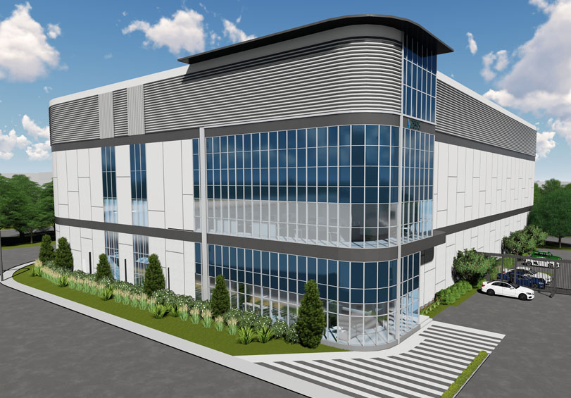
3D Renderings
Create a custom map of your location so accurate it will seem as though you are flying above it. Transform architectural drawings or photos into 3D buildings, virtual models like walking around the real-life location. Incorporate virtual reality, and images that aren’t only stunning, but interactive. With our custom 3D renderings, we make it possible for your audience to be immersed in any existing or imagined space.
- A brick and mortar hotel becomes a 3D hotel, charming online bookers with alluring 3D images of pool areas and well-appointed rooms
- Developers improve chances for funding approval from municipalities, overlaying the data on how their project could improve the quality of life for citizens
- Airport models help travelers find their gate, baggage, and a currency exchange kiosk
Need to see for yourself? Have a portion or a building rendered for free.
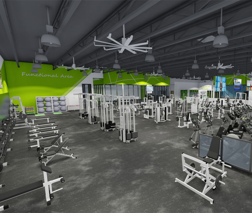
Showcasing unique details is our forte, whether it’s the copper tiling on your building’s roof or the reflection of the sun in windows. Show a lighted path at night. How your gardens or beachfront look on a perfect summer day, with the sun setting on the horizon. Our media integration feature within the Concept3D platform lets you layer videos, photos and call-outs on any point in the image, so your audience fully understands what they need to know.
3D rendering software creates hyper-realistic depictions of your space that can be experienced virtually, by anyone, anywhere. Using satellite imagery, Google Maps Streetview, 3D rendering mapping, on-the-ground photography and digitized floor plans, we create 3D maps and models of your space with no distracting variables.
Through one of our live data integrations, we can deliver our 3D renderings to your digital map.
As a separate service, our Production team can create renders of your location, and we deliver them as part of our Rendering as a Service. We create renderings to your specifications, 3D or 2D, interior or exterior, and so on. Host the renderings on our map tiler to correlate map zoom levels accurately. Then provide the renderings for your use and reference on demand.
Rendering as a Service is the ideal solution if you already have an existing digital or interactive map but need precise and continually updated 3D renderings of your space.
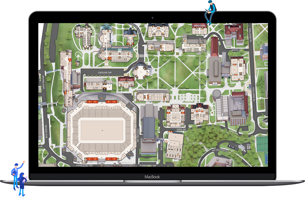
Michigan Tech
Michigan Tech’s main campus sits on Michigan’s Upper Peninsula with sweeping views of the Keweenaw Waterway.
Seeing is believing.
See our technology come together in one seamless experience.